
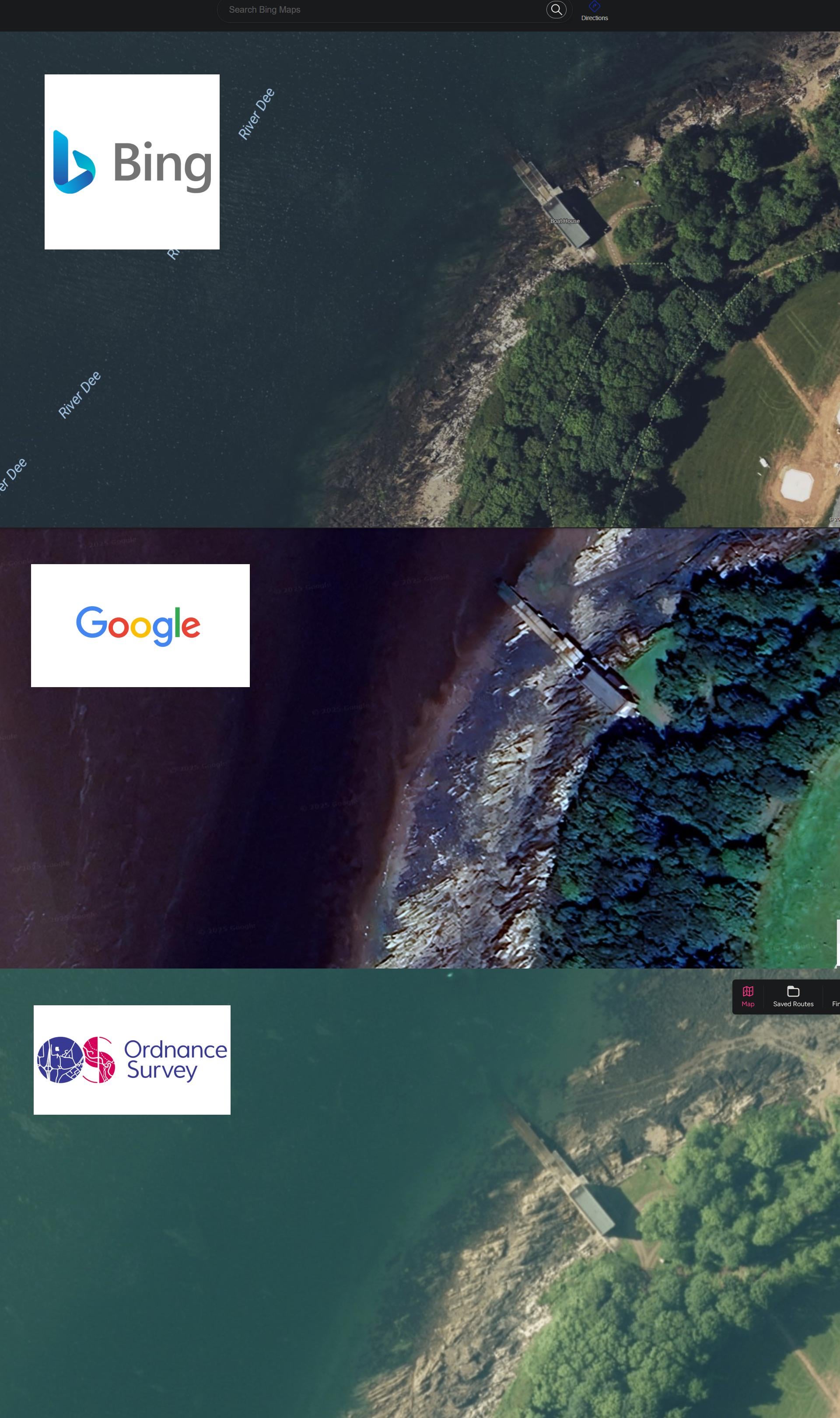
I spend a lot of time looking at maps for spots.
Mainly been using Google up until now. I was a bit mind blown when I pulled up a few simultaneously.
I think it will make a great improvement for finding spots and casting areas. Wanted to share so it might help another.
Just wanted to share my findings as it can be a bit difficult to know where to go.
Posted by shitgenericusername
3 Comments
Bonus map for comparison: Apple Maps
Which interestingly is the most recent satellite image and the only one to show the current works that are going on at the station
https://preview.redd.it/0bae0yhc6h6g1.jpeg?width=1179&format=pjpg&auto=webp&s=77b1a1d373df1c7a95705ad2a58760f9c88dd5b9
Google earth is very handy for looking back in time tonlow water levels to find submerged features.
you can even check satellite picture history on google earth. it’s awesome to learn about lakes structures!